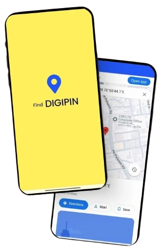
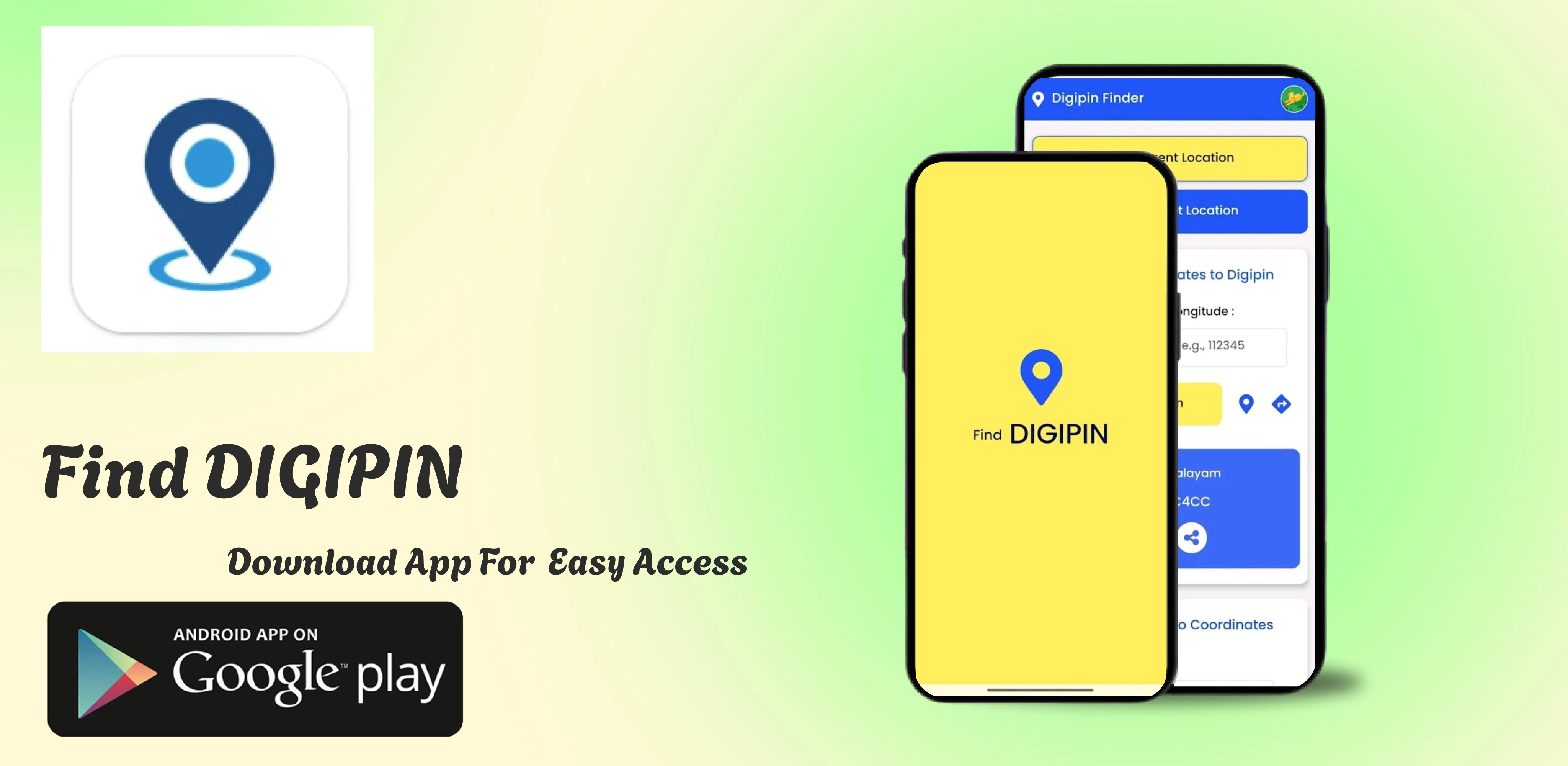
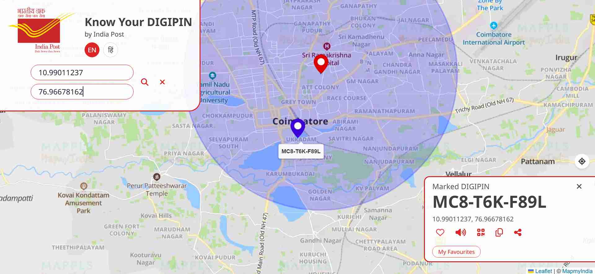
One simple app to access, manage & share your digital PINs securely.
Join thousands of users who trust DigiPin for fast, accurate digital location codes. Download now and experience the future of smart PIN access!
Learn how to easily convert your location into a secure and sharable PIN code using DIGIPIN technology.
DIGIPIN is a smart way to convert your exact geographic location into a unique alphanumeric PIN code. This makes it easier to share your location without GPS coordinates.
Easily find your unique DIGIPIN using your current location or by entering a PIN code. DIGIPIN is a smart, digital location identifier designed to make location sharing, searching, and accessing more seamless than ever.Whether you're a delivery agent, a business, or an individual needing to share your exact location, DIGIPIN offers a reliable and user-friendly solution.
Try It NowAlready have a DIGIPIN? Enter it to find the exact latitude and longitude it represents.
Decode DIGIPINDIGIPIN helps bridge the gap between digital maps and real-world communication.
Standardizing geo-coded addresses for efficient public service delivery and logistics across India.
India Post, in collaboration with IIT Hyderabad, NRSC and ISRO, has introduced DIGIPIN โ a geo-coded addressing system designed to assign a unique digital identity to every 4m x 4m area across the country.
DIGIPIN uses a 10-digit alphanumeric code derived from lat-long coordinates. The system divides India into a grid using 16 unique characters (2โ9, C, J, K, L, M, P, F, T), enabling hierarchical encoding.
Each character in the code represents one level of precision, identifying a 4m x 4m area at the 10th level of granularity.
The DIGIPIN layer is the cornerstone of the entire digital address ecosystem. DIGIPIN is visualised as an alphanumeric offline grid system that divides the geographical territory of India into uniform 4-meter by 4-meter (approx.) units. Each of these units is assigned a unique 10-digit alphanumeric code derived from the latitude and longitude coordinates. This code acts as an offline reference to pinpoint any location. The system is scalable, GIS-compatible, and supports integration into multiple applications.
DIGIPIN layer functions as a logical, offline address referencing mechanism, ideal for locating areas during emergencies, logistics workflows, and disaster response. Itโs a public system with no privacy issues, as no personal data is stored.
The DIGIPIN code is derived from geographical coordinates and uses 16 alphanumeric characters: 2, 3, 4, 5, 6, 7, 8, 9, C, J, K, L, M, P, F, T. Encoding follows a 10-level hierarchy.
The bounding box used spans from longitude 63.5ยฐ to 99.5ยฐ east, and latitude 2.5ยฐ to 38.5ยฐ north, based on the EPSG:4326 coordinate reference system (WGS84). It includes Indiaโs entire land mass and maritime zones like the EEZ, making the system useful even for sea-based operations.
Get your exact DIGIPIN in seconds using your phone's GPS
Start your digital address now โ download and get instant access in seconds.